
Masters module on the principles of seabed mapping
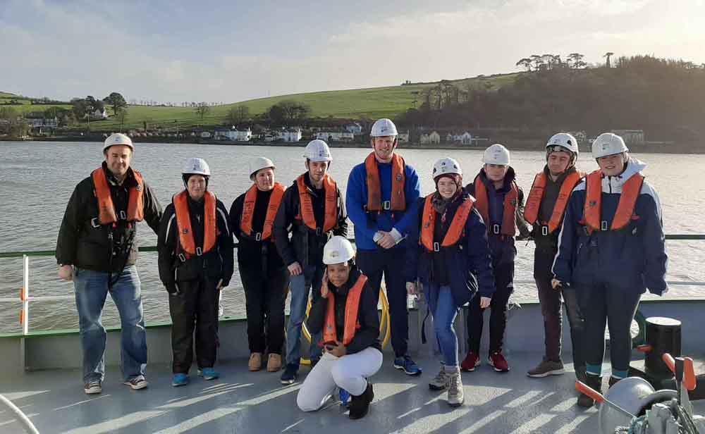
The Department of Geography at NUI-Maynooth and Ireland’s marine mapping programme INFOMAR (Integrated Mapping for the Sustainable Development of Ireland’s Marine Resource) successfully delivered a new, five-day module at the end of January on the principles of seabed mapping for a Masters course specialising in remote sensing.
INFOMAR joint programme manager Seán Cullen (Geological Survey Ireland) said he was pleased to see “the very positive feedback overall” from the students and tutors:
“This module demonstrates the welcome influence of Irish seabed mapping expertise on new sectors of society and is a timely addition to the INFOMAR education initiative as we face into the United Nations Decade of Ocean Science for Sustainable Development.

“Collaboration is an encouraging sign that seabed science belongs in the space of third-level education, and sets to further promote Ireland as a leader in marine science and ocean literacy on the international stage.”
Thomas Furey, INFOMAR joint programme manager (Marine Institute) said it was “critical” to create a legacy to build on Ireland’s “world leading role” in seabed mapping:
“Through this specific training at third level, we are contributing to capacity build, marine economy growth and Ireland’s marine plan, ‘Harnessing our Ocean Wealth’.”
Course details
The level-9 post-graduate module, Marine Remote Sensing – INFOMAR, explained the science of seabed mapping by providing a combination of class-based learning and practical offshore survey experience.
The course outlined the importance and impact of seabed mapping, and featured a range of topics including how seabed data are collected and processed to produce high-resolution maps of seafloor depth, type and habitat.
Lectures illustrated how scientists measure and describe the seafloor in incredible detail, using state-of-the art acoustic sonar, positioning and optical instrumentation. The use of satellite imagery analysis when studying coastal seabed depth and shape, was also explained.
Practical examples used images of Dublin Bay acquired on Sentinal-2 satellite’s sensor almost 800km above the Earth’s surface.
Offshore practical
The module included a two-day offshore practical in the outer reaches of Cork Harbour aboard RV Celtic Voyager where students were given an opportunity to apply the theoretical learning.
This vessel is one of six survey platforms deployed by the INFOMAR programme during seabed mapping operations.
At 31.4 m in length, RV Celtic Voyager is tasked with operating along the continental shelf and coastal waters.
Students also got exposure to the dry and wet/chemical laboratories, as well as operating an array of scientific equipment, including the multibeam sonars and associated oceanographic instrumentation.
Hands-on experience
Training activities included marine mammal observation deck watch, survey computers and software use, benthic ecology, sedimentology classification, sound velocity probe deployment, multibeam echosounder, and sub-bottom profiler data gathering.
After exposure to the scientific equipment, workflows and data processing onboard, the students were tasked with designing, planning and implementing a real-life survey scenario. This enabled them to apply their newly-acquired, seabed-mapping knowledge as a team of scientists would in real-world conditions.
Overall, the INFOMAR MSc module gave the students an overview of remote sensing techniques, helped them to understand bathymetric data products, to recognise data limitations, and to identify key systems and practices used when surveying the seafloor.
Students also developed a technical grounding in mapping at different resolutions, and learnt the importance of instrumentation calibration, quality control and processing of bathymetry datasets before product delivery to end users.
Online data
The students also learnt how to source marine data online from INFOMAR’s Interactive Web Data Delivery System and online Webviewers and via web-based portals operated by the European Marine Observation and Data Network (EMODnet) and the Copernicus Marine Environment Service.
Follow-on project work is currently being assessed and the results will further highlight the positive learning achievements of all attendees.
Importantly, the module was taught within the context of end-users, stakeholders and the policy framework that underpins ocean science and ocean literacy and highlights both the relevance and importance of mapping the Earth’s seafloor.
The course was delivered by the INFOMAR team who have extensive offshore surveying time and were able to share personal experiences and employment backgrounds.

